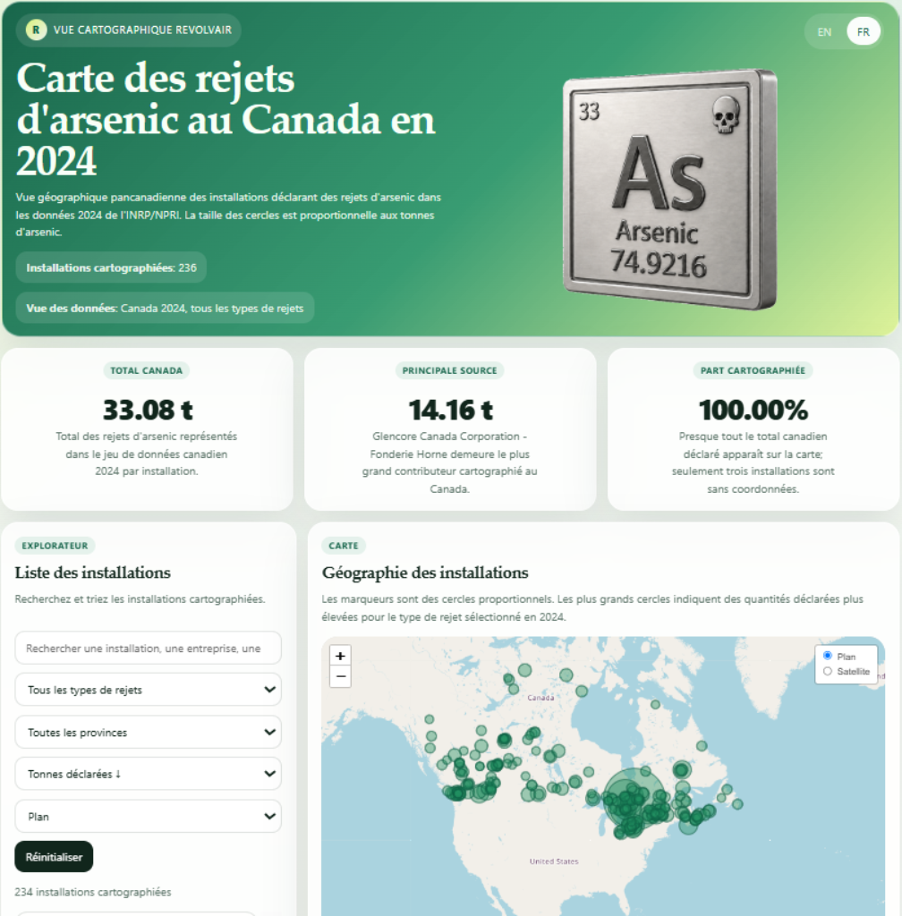
An interactive map of arsenic emissions in 2024
A new tool developed by RevolvAir—the Map of Arsenic Emissions in Canada in 2024 (Carte des rejets d'arsenic au Canada en 2024) —allows users to explore arsenic emissions from Canadian industries. It features an interactive map of industrial facilities as well as descriptive statistics that facilitate comparisons between facilities, industry sectors, and regions.
In particular, the tool makes it possible to identify the facilities reporting the largest amounts of arsenic, examine the geographic distribution of releases, and better understand the relative importance of various industrial sources. It thus makes often-complex environmental data more accessible and easier to consult. The data presented comes from the National Pollutant Release Inventory (NPRI), which is the public inventory of pollutants released, disposed of, and transferred in Canada. The 236 facilities mapped are those that reported releases during the year 2024.
This resource is part of a suite of tools developed by RevolvAir to support access to information on air quality and environmental contaminants. RevolvAir offers useful resources for people interested in air quality, public health, pollution, and actions that can help improve the quality of their environment.